Lower input costs and less risk in farming.
We combine applied science with responsibility for the result. We use satellite images, drones and weather data to show the actual condition of the soil and crops in every field.
Talk to us- Maize
- Wheat
- Triticale
- Rapeseed
- Root crops
- Other crops
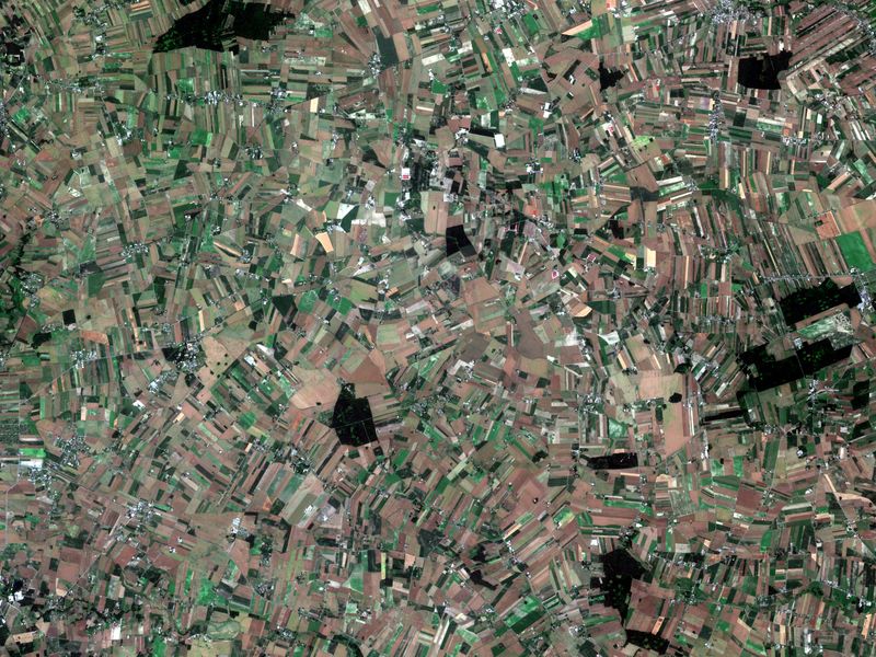
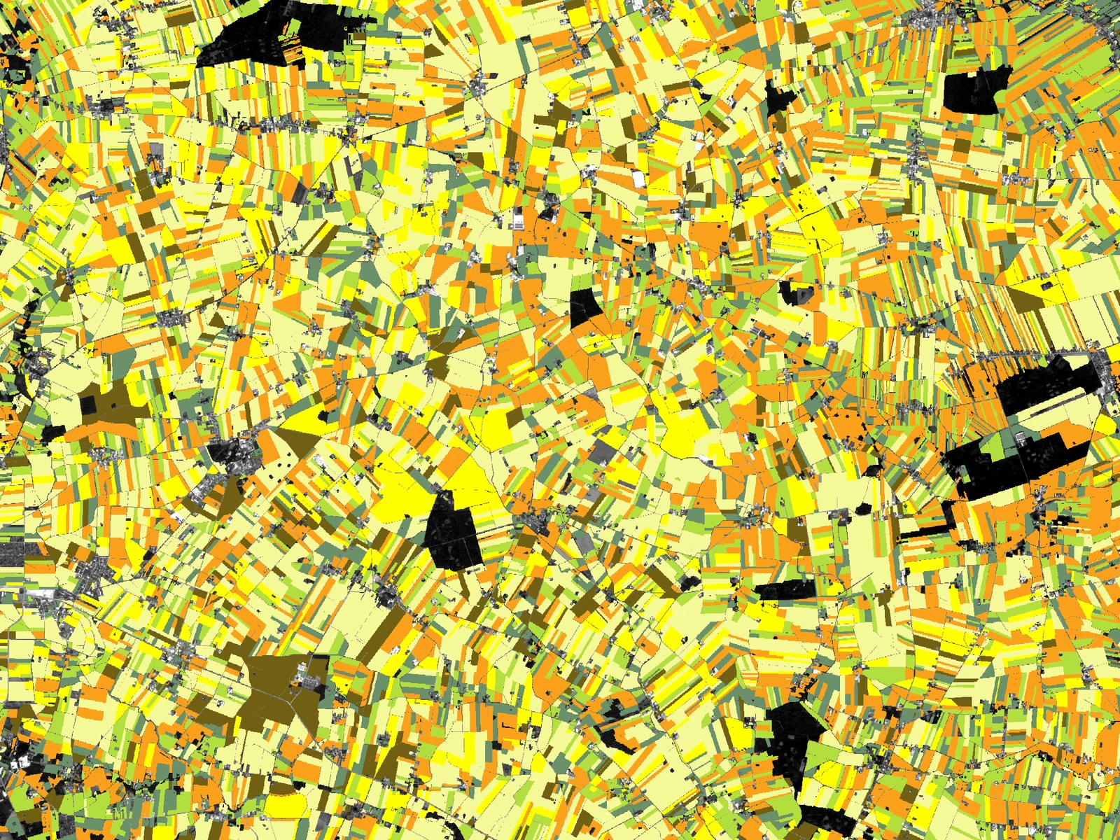
What we work on
Soil
Soil condition and fertility, and areas at risk of degradation, as the basis for choosing crops and fertilising.
We analyse soil condition and fertility and detect areas at risk of degradation. We produce maps that show the variation within fields and help to choose crops and match fertilising to the needs of each area. We develop these methods in the EO4Soil project for the European Space Agency.
Crops
Crop condition, variation in growth and threats caught in time.
We recognise crop types, assess their condition and detect the first signs of problems. We help to identify threats from disease, pests, drought and adverse weather. We forecast yields during the season. We develop these methods in the AgriSatCom project funded by the National Centre for Research and Development.
Land monitoring
Changes in land use and land cover, burnt areas.
We monitor changes in land use and land cover. Among other things, we detect burnt areas and changes in the line of field boundaries and tree belts. We develop these methods in the AgriSatCom project funded by the National Centre for Research and Development.
Risk and finance
Reliable agricultural risk assessment for insurers and banks.
We combine satellite data on crop and soil condition with weather information and farm data to assess the risks of agricultural production. We provide analyses that support insurers in assessing insurance risk and banks in assessing and monitoring farm lending. We develop our methods in projects including AgriSatCom (NCBR).
Who it is for
Large agricultural holdings, input producers and distributors, cooperatives, processors and traders, lenders, crop insurers and public agencies.
Research behind it
- EO4Soil European Space Agency (ESA) Consortium lead Soil condition from satellite data Running, October 2026 – July 2027 EO4Soil (Research)
- AgriSatCom National Centre for Research and Development (NCBR) Consortium lead AI on satellite and aerial images for agriculture Running, October 2024 – September 2027 AgriSatCom
EO4Soil is carried out under a programme of, and co-funded by, the European Space Agency. The views expressed here can in no way be taken to reflect the official opinion of the European Space Agency.
AgriSatCom. Project co-funded by the National Centre for Research and Development under the INFOSTRATEG Strategic Programme.
How it starts
A conversation about what you want to achieve, how we will measure it and the data you have.
A short study on your data, with a written result.
Delivery: we build the solution and help you run it, so it keeps delivering results.